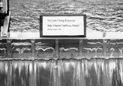
| Tai Lam Chung Reservoir Waterfall Dam Side Channel Spillway Model Study |
|
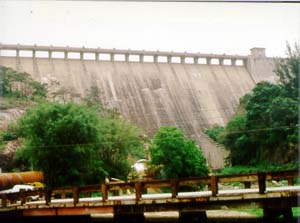
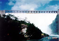
Located in Tuen Mun, New Territories, the Tai Lam Chung Reservoir has
a direct catchment area of 16.5 km2, with a Probable Maximum Flood (PMF) of 703
m3/s. Flood flows are discharged over a concrete gravity dam side channel
spillway with a crest length of 138m. In order to safeguard downstream developments, a
physical and mathematical modelling study of the spillway has been carried out in the
hydraulic laboratory of the civil engineering department, University of Hong Kong, to
determine:
|
|
|
|
|
|
|
|
|
|
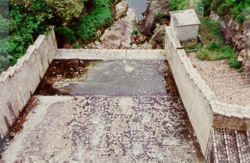
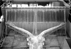
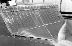
 Spillway flow over central weir sections at PMF |
|
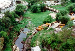
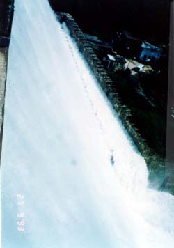
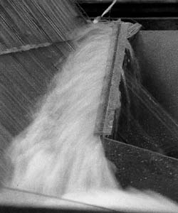
 Observed flow in left channel at PMF |
|
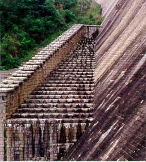
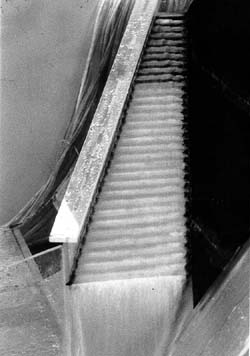
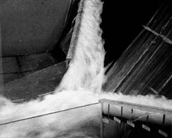
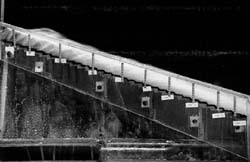 Side view of air-water flow over the steps of the right side channel |
|